GeoEye Website
Client: GeoEye
Services: Coder | Creator | Web Design | Web Development
Role: Developer/Designer
Type: Web Design | Web Development
Year: 2004
Space Imaging was the first company to put a high-resolution satellite into orbit. By providing images of cities, monuments, airports, seaports and national parks, the satellite IKONOS showed us a new vision of the world. And after the September 11 attacks, the satellite showed us the power of satellite imagery in helping understand the complex world around us. I first started as a marketing specialist but transitioned into creating an award-winning website for the company before and during its transition into GeoEye. Below are some of the projects I spearheaded, including a poster store, feature finder and pioneering web mapping applications.
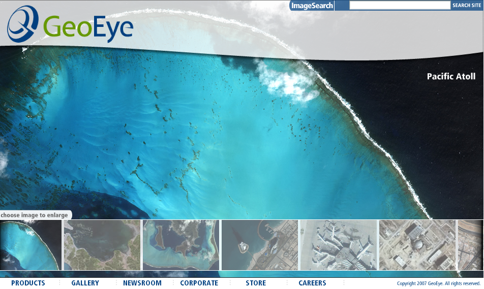
GeoEye completely redesigned a website combining content from two companies (who merged). The main focus of this site was the imagery. Was always in the process of rewriting content to provide more impactful and meaning for online users. Marketing and upper management routinely saw the audience for this imagery as the military and government which meant content that was skewed toward a technical reader. But analytics consistently showed a strong interest from the general public. So some effort was made to provide features and products for this audience.
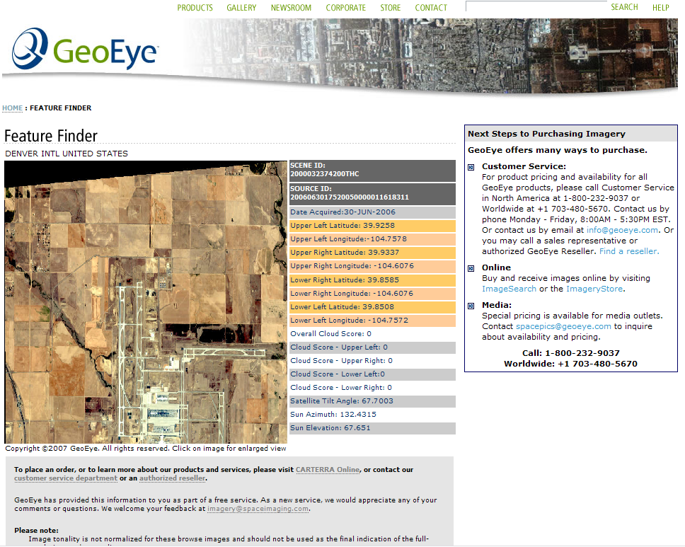
FeatureFinder provided an easy and quick way to find all imagery related to a certain latitude/longitude. I built the web app with HTML and JavaScript. While the image could not be downloaded directly, customers were directed to a customer service department and had all the information at their fingertips to purchase the image. Customer Service preferred this tool because of its speed in searching the Oracle database. The site is no longer available online.
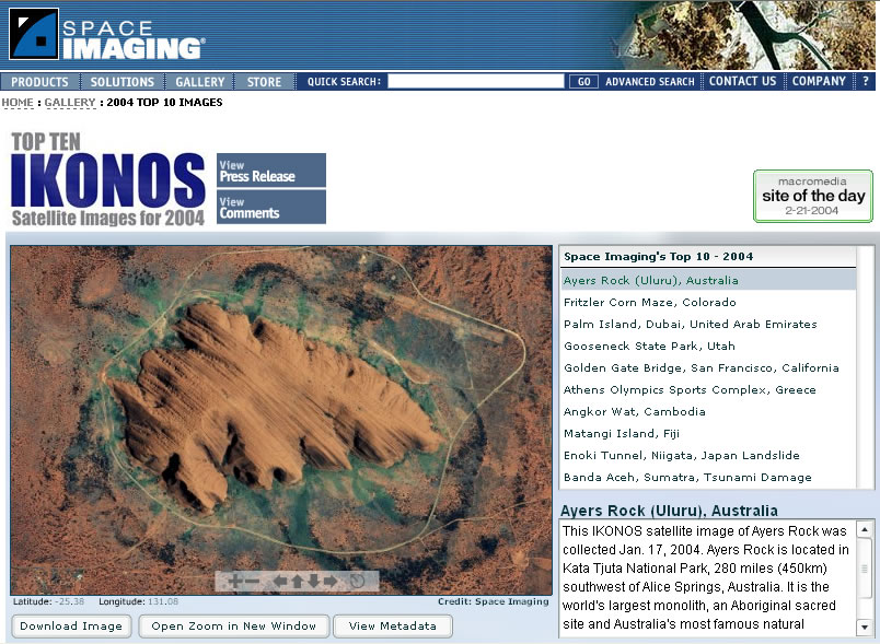
High-resolution satellite imagery was on display in this feature for Space Imaging. User could choose one of the Top 10 images, pan around and zoom into the image. The feature won Adobe's site of the day for February 21, 2004.
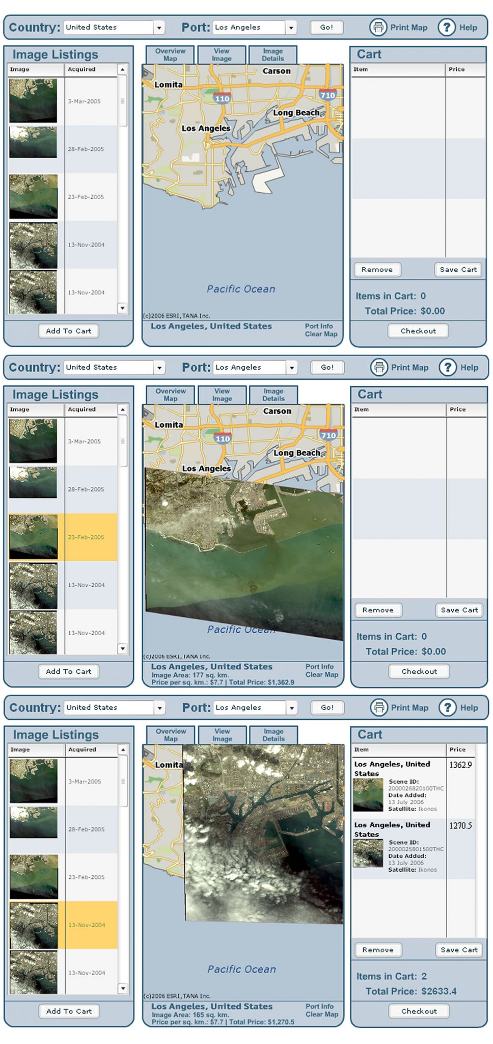
With a focus on airports and seaports, I designed MapPOD as a mobile-first application (before such a thing existed), the purpose of this application was to create an easy-to-use display and purchase mechanism for Space Imaging/GeoEye. Initially, the Flash based RIA used a REST call from ESRI to display the map information at a pre-determined resolution. Because of YahooMap’s Flash API, maps could also be drawn from that source. Area of interest could come from a simple latitude/longitude input or placename data could be populated into dropdown selections from a PHP/MySQL call or an XML file. More interestingly, because of the precise corner coordinates of IKONOS imagery, it could be placed on the map with high precision. By adding some code to mask the edges, the image would seamlessly fit on the map; all before online mapping apps, such as Google Maps, showed satellite imagery on its maps. It is no longer available online.
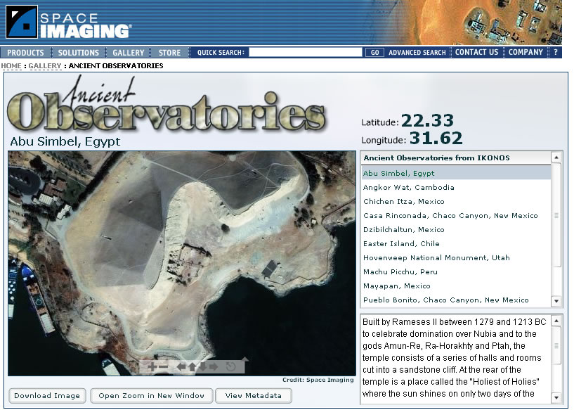
Ancient Observatories was an award-winning web feature for Space Imaging. I came up with the idea during a phone call about observatories ancient humans created to track the Sun and the Moon. The feature showed the location and description of the image. Using a technology called Zoomify, a user could "explore" the image, panning and zooming on areas of interest.
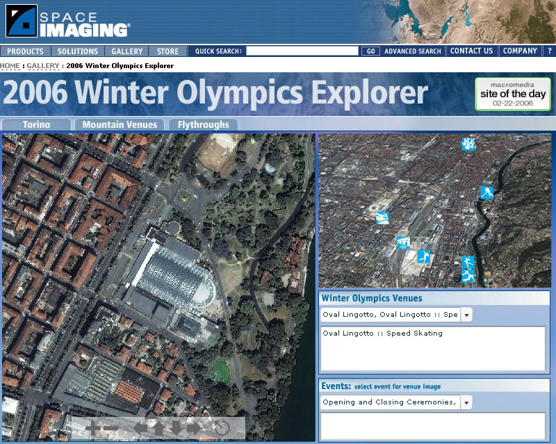
The 2006 Winter Olympics Explorer allowed users to explore the Olympic village and venues with an interactive zoomable image map. The feature was built with Flash ActionScript 2, Zoomify, and XML. It featured one of the first 3D flythroughs created using IKONOS imagery. The feature won an Adobe Site of the Day award.
